Preparation:
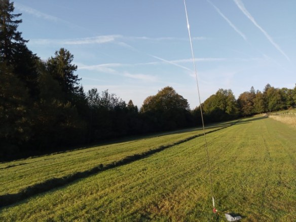
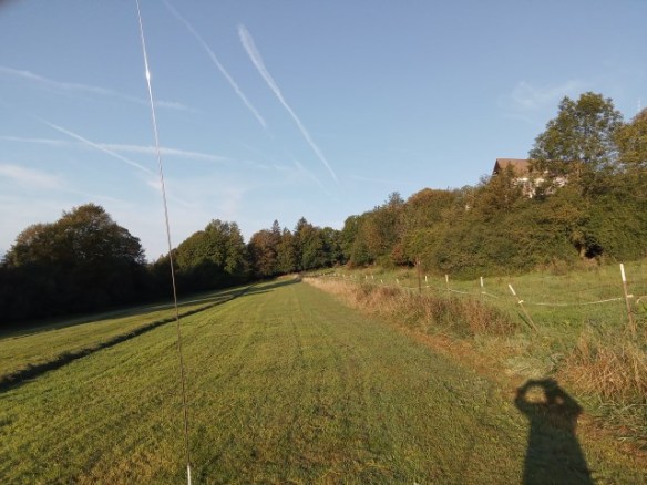
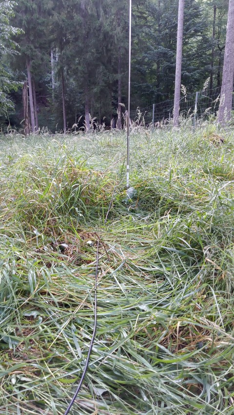
This activation on Höher Peißenberg was prepared for with a “dummy run” on September 19th (see the previous blog report) and as that went without any major incident, the same combination of radio and antenna would be used this time, with the exception that the radial wires on the driven element had been upgraded to be all silicon rubber covered wires, so avoiding the tangling up that can occur (this upgrade was well worth the small effort needed).
As a start of 7 am saturday was planned, the radio gear, all packed into/onto my 40L rucksack, was loaded into my car, Friday evening.
The Activation
On the morning of the activation, the first thing I saw was an email from Andrew VK1DA telling all that radio conditions had taken a dive and contacts would likely be a challenge. having got up so early and while the rain was holing off, i decided to go to the summit in any case and try.
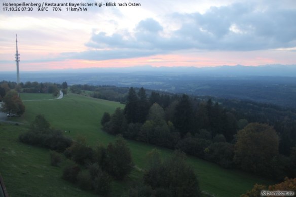
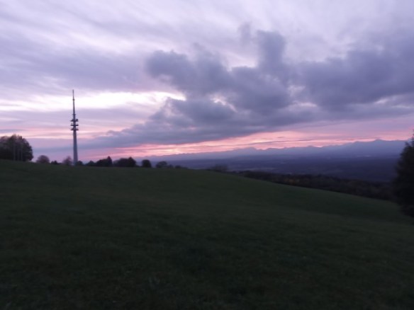
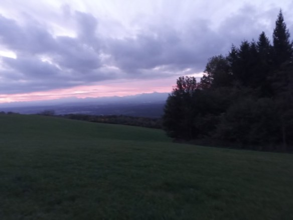
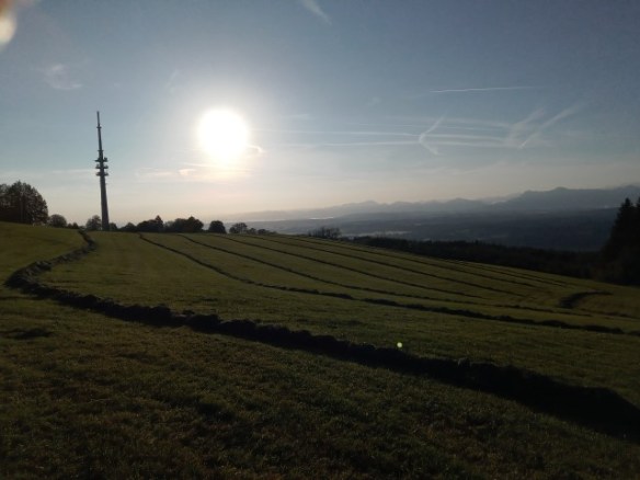
the last time I was at this summit, the main road in Hohen Peissenberg under the summit was completely closed for road works. i check the government website which told me the works needed another 7 to 10 days for completion (there was nothing in Google maps, so i informed them as well). I therefore planned a slightly longer route going into Peissenberg itself and then coming out to approach Hohen Peissenberg from the other siide. all set and I was actually ready to leave before 7 am and so set off, heading for my new route but relying upon Google maps to take me from Peissenberg, the rest of the way. All seemed fine to start with until, after touching the side of Peissenberg, Google instructed me to turn right, which seemed OK at the time however, what Google was actually doing was taking me back onto my old route and bringing me to the same road works which i had planned to avoid. the “official” diversion adds a good 10 minutes to the journey so I took the same “local traffic only” back road I had used last time on my return journey – after all this was still early morning. Somewhat annoyed with myself for not printing out my alternative route (which I took on my home journey), I arrived at the summit, parked and went to set up. It was around 2°C at the time and never got over 7°C. On arrival, as the sun had just started to rise, there was a lovely red sky, which unfortunately my smartphone camera could not catch correctly. Beautiful but also a warning of rain on its way later in the day.
Hohenpeißenberg – 17.10.26 07:30 – foto-webcam.eu
The 20m band was relatively quiet to start with, with just the usual Russian and Italian power stations on the band but then while tuning around, I happened onto a ZL station ZL1KBA with a lovely clear signal, chatting to a friend. I waited until he finished as I thought a start of the day with a ZL station in the log would not be a bad start. But, when I released the PTT from calling him, there was a “wall-of-noise” the rest of Europe had also found him. there was no chance so i continued to tune and found a similarly clear VK4EEC, also just finishing a local Queensland chat, but again, it seems hundreds of other ops were tuning around the same as I, and again despite going back and trying a few times and hearing my call sign at one point, I could not break the pile-up.
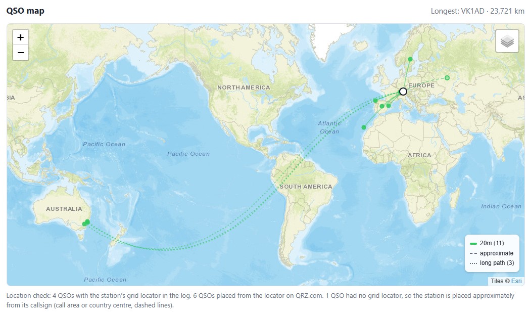
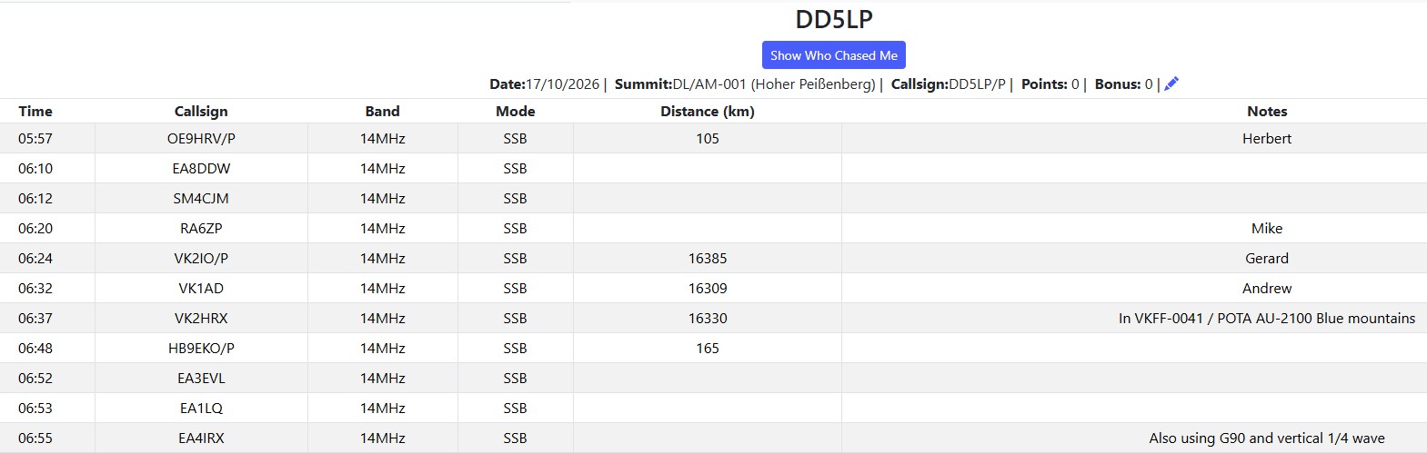
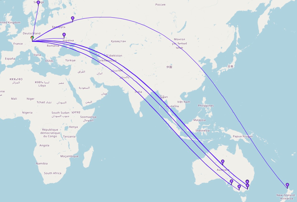
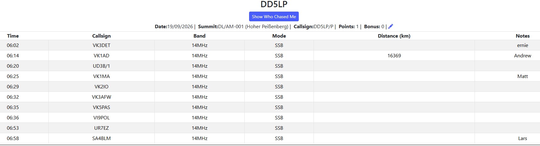
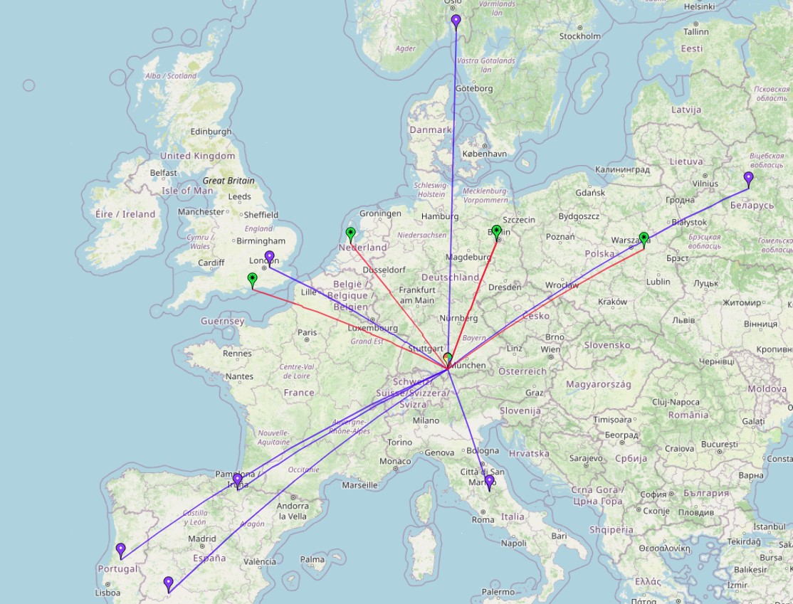
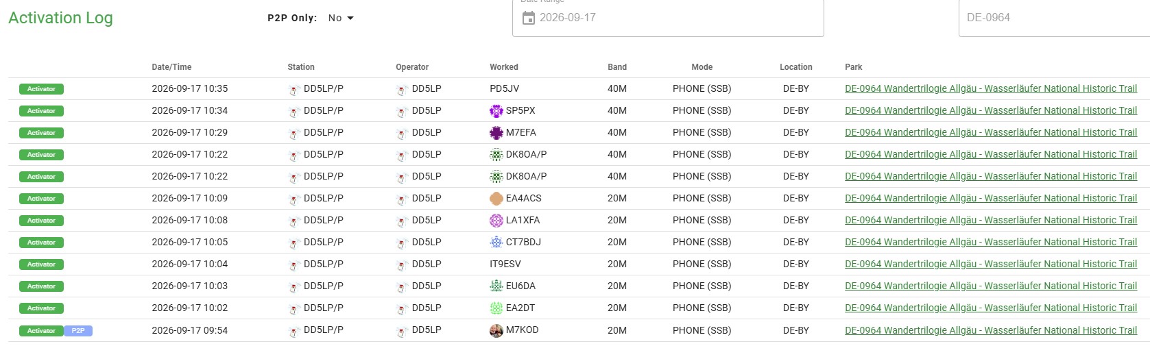
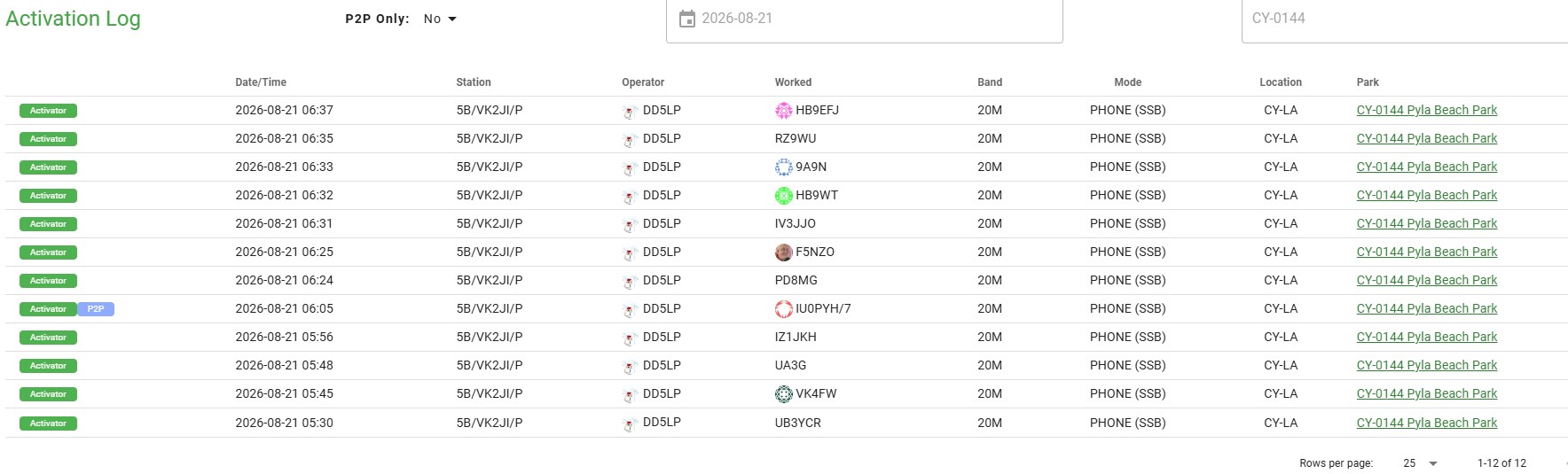
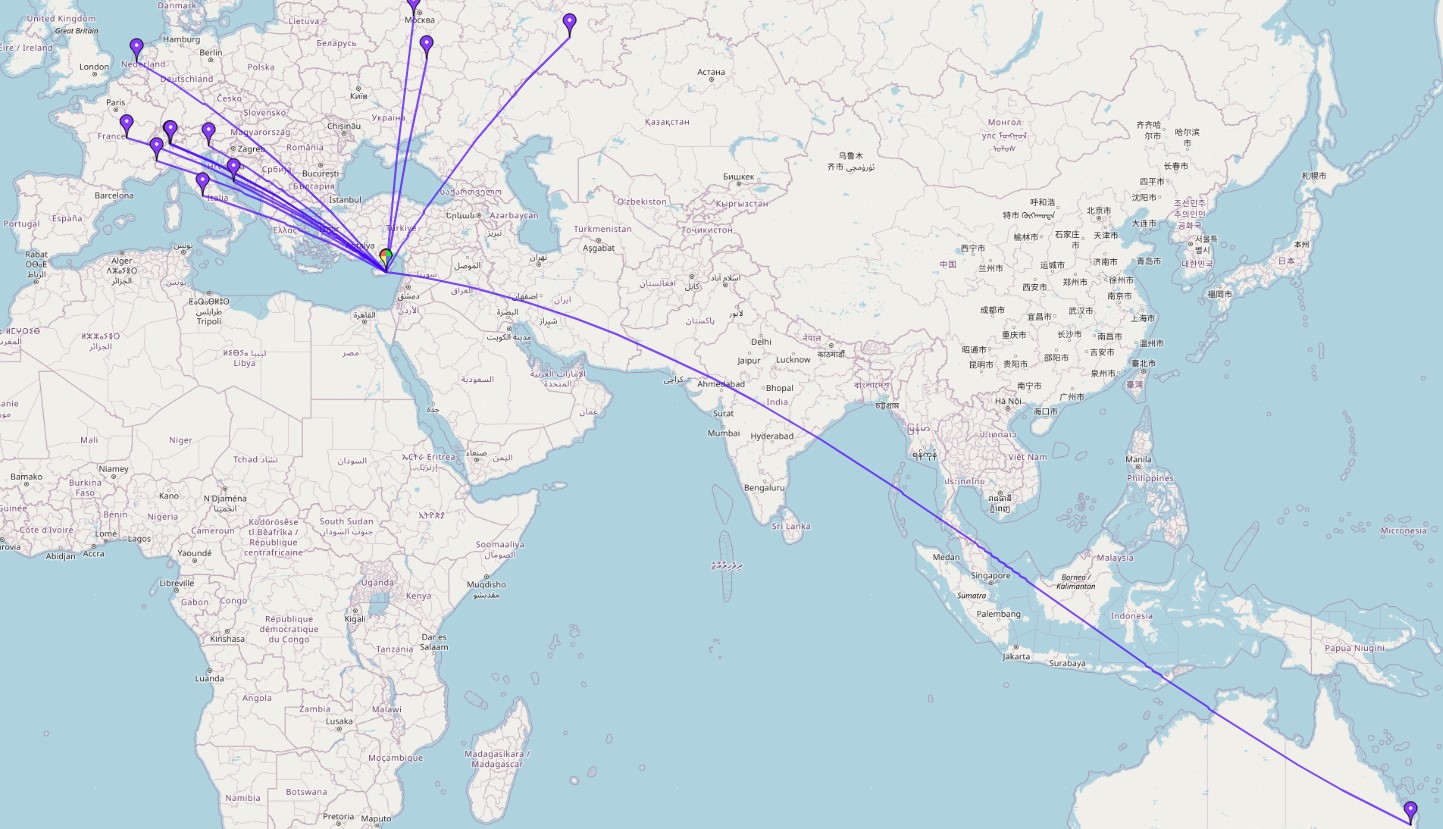
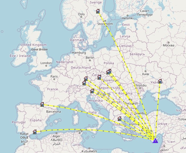
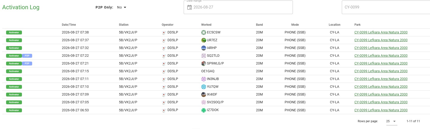
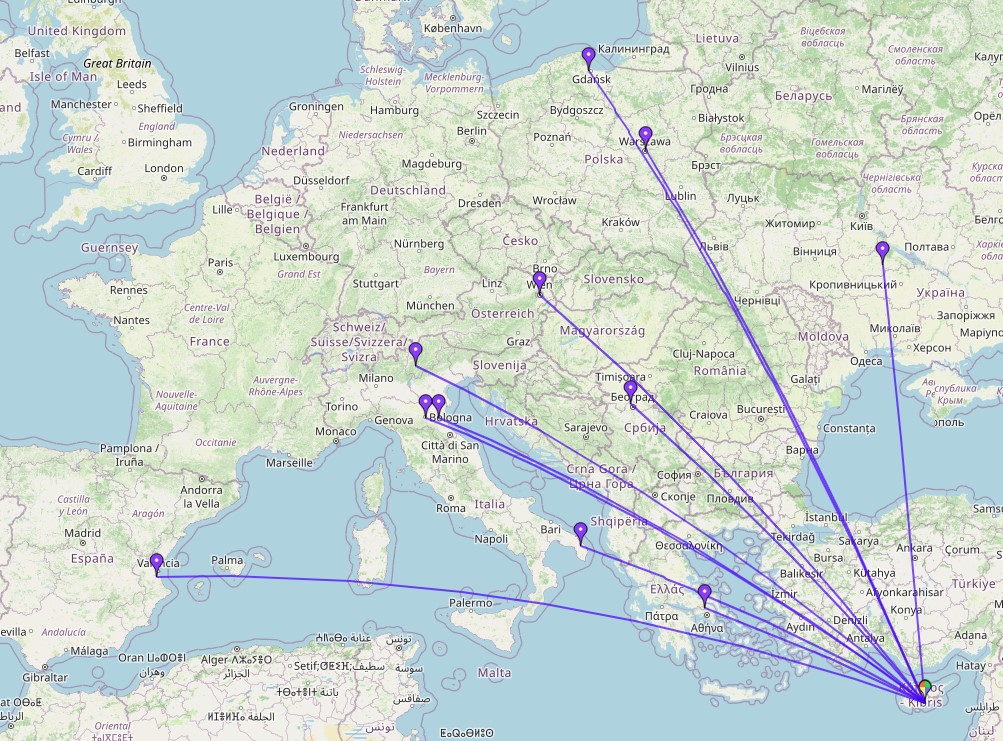
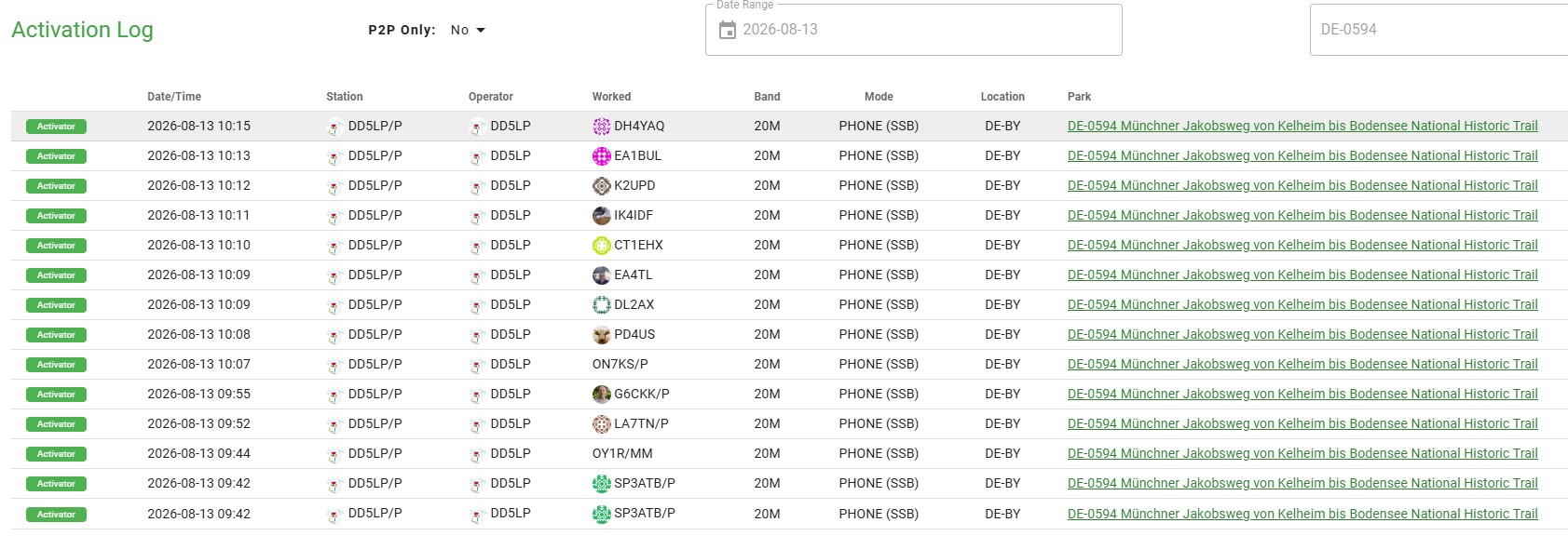
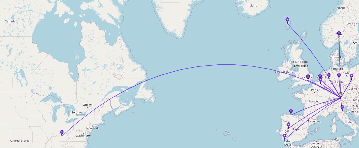
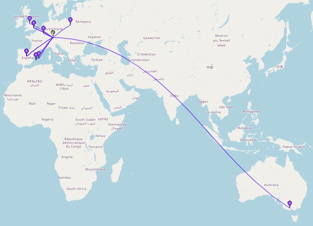
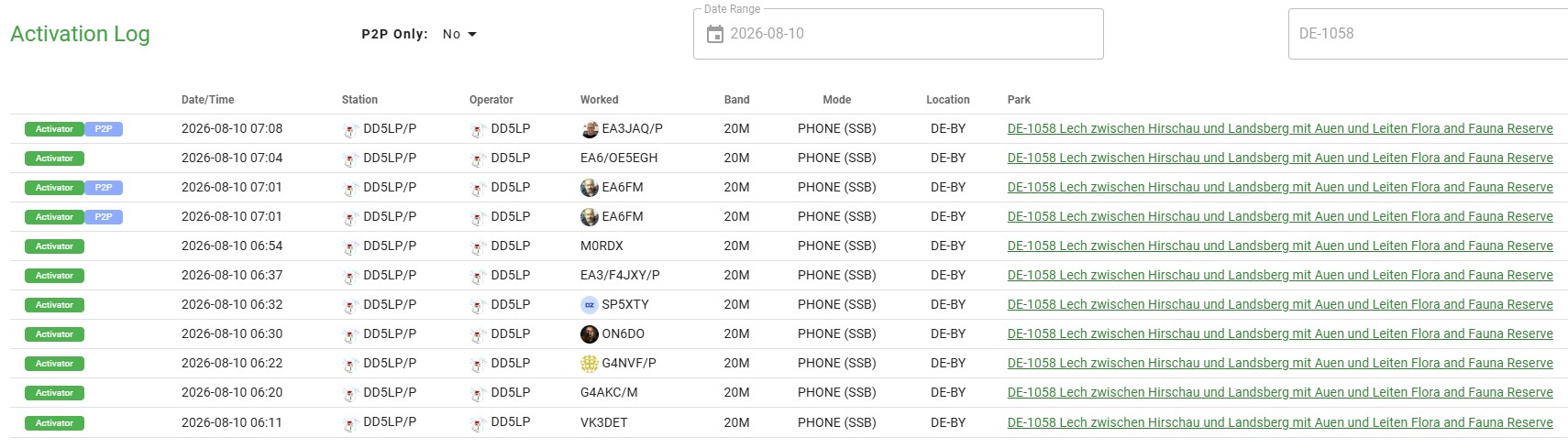
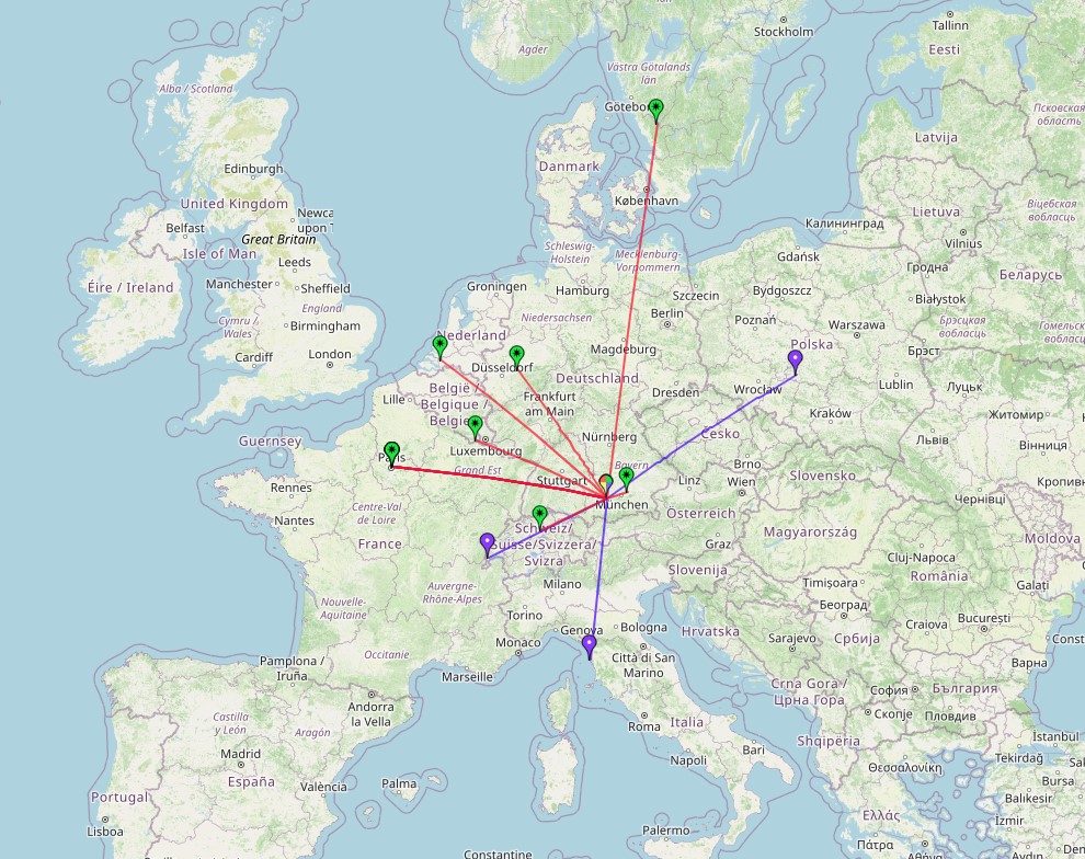
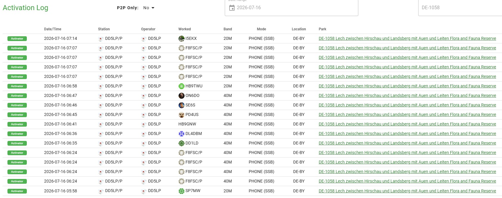
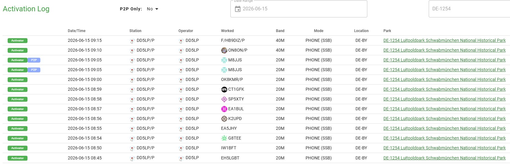
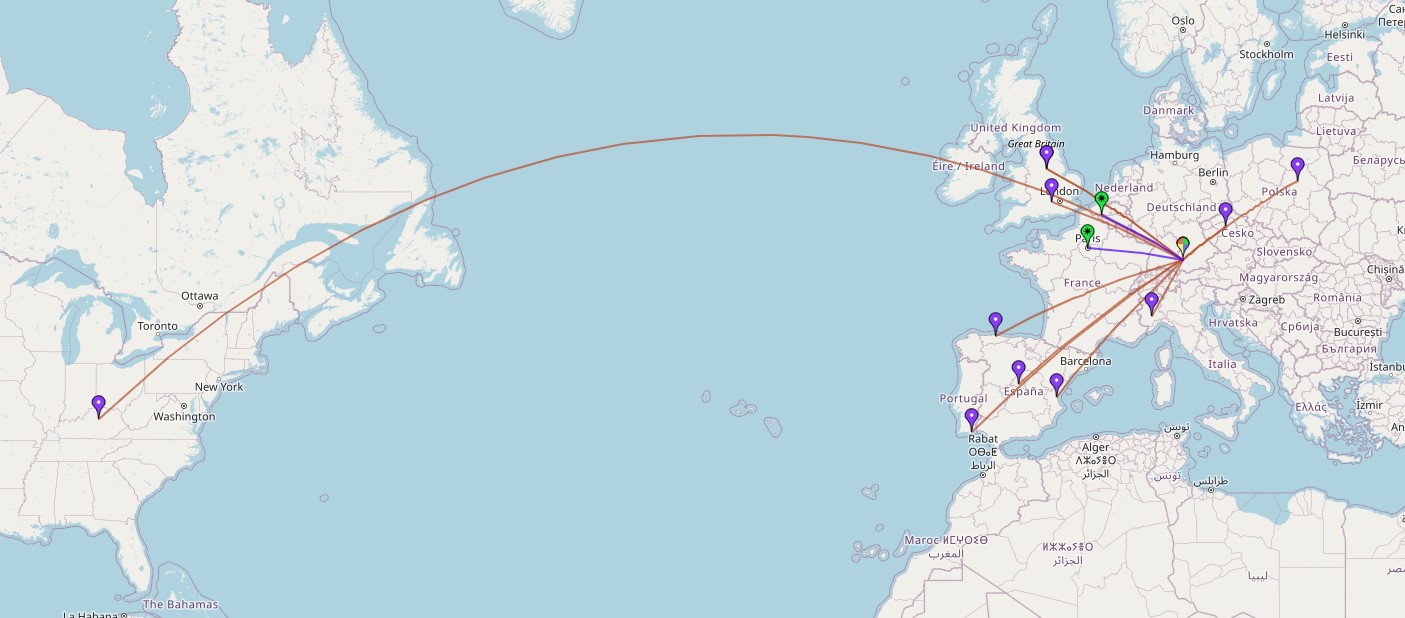
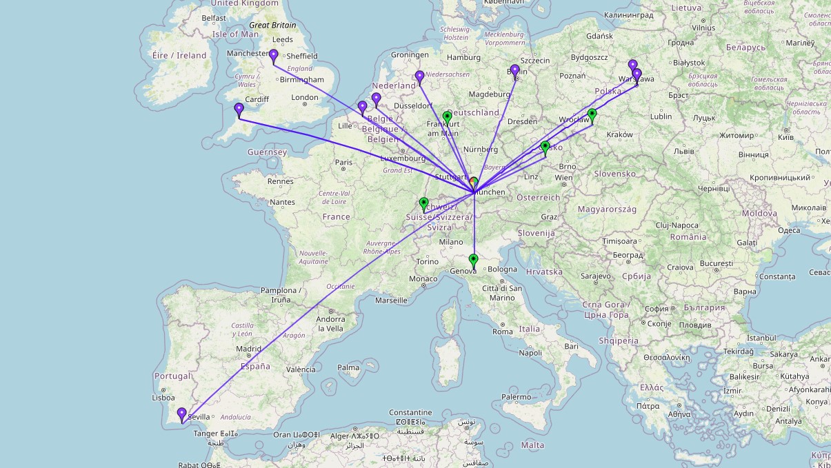
i tried a couple of times, to spot myself and call CQ SOTA but, as so often happens, as the band opens a once clear frequency is no longer clear with someone calling a kc or two away from me or right on top, so the majority of my contacts were going to posted frequencies of other SOTA activators and listening, in the hope of hearing them and then giving them a call. As it turned out from other activators, it seems my 20w SSB and the phased vertical array did fairly well and I eneded up, as you will see from the log and map below, with 3 S2S contacts into VK, 2 in Europe and a couple of other good contacts as well.
The new website from Duca YT3MD ( http://www.yt3md.com/ ) is great to feed an ADI log file into, to see how you did. I also added the flag to say which contacts were long path from Germany over the Americas and down into Australia and the website shows that route and distance correctly. A really useful website, which I can only recommend highly.
All in all the exercise was successful, as far as it could be with the radio conditions and good preparation for the EU-NA S2S event on November 7th, when it will no doubt be a lot colder, but at least that will be an afternoon activation.
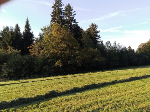
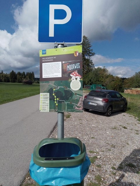
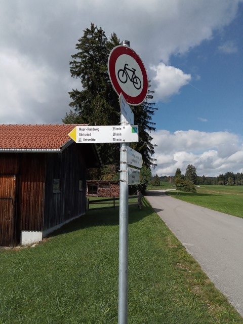
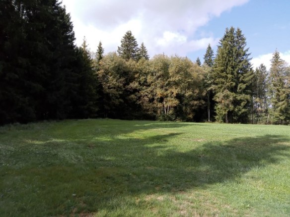
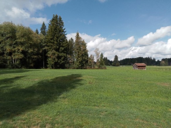
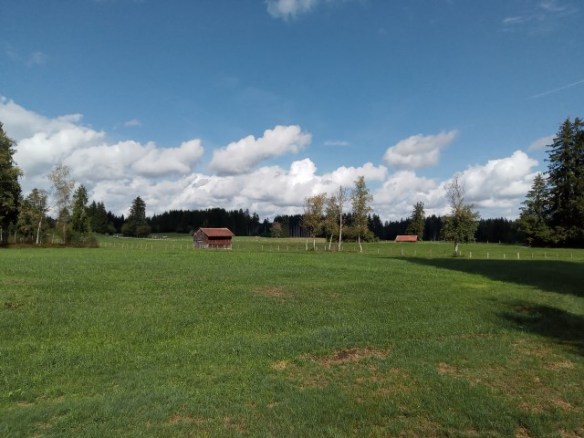
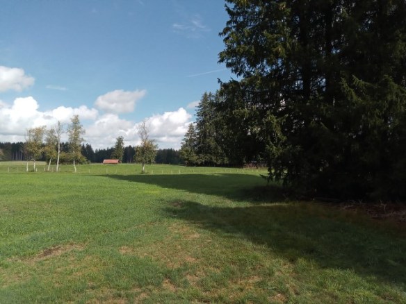
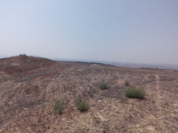
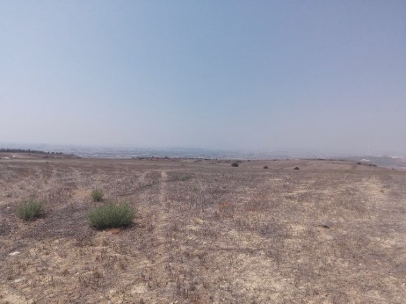
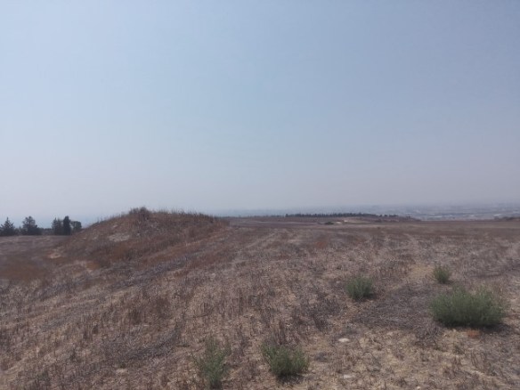
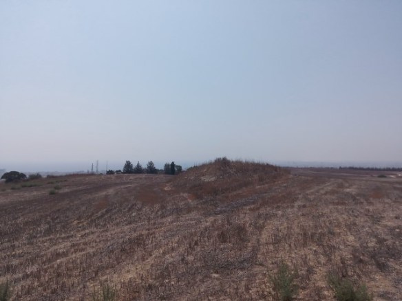
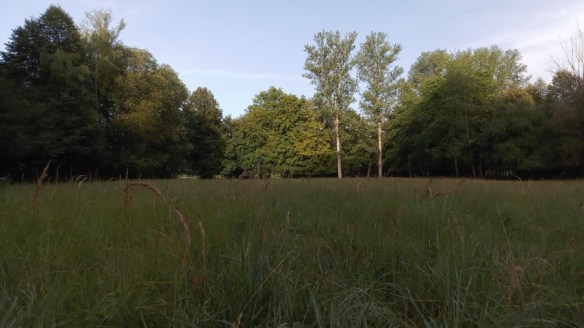
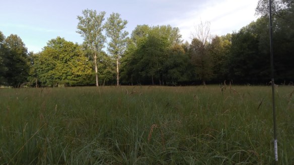
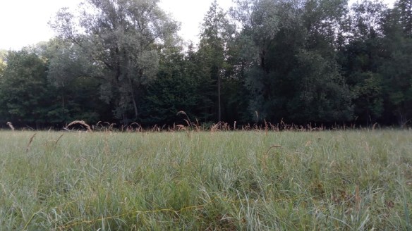
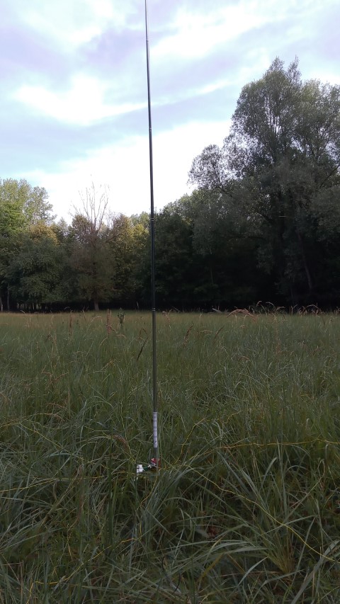
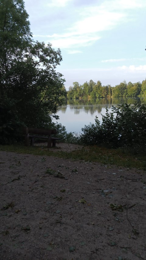
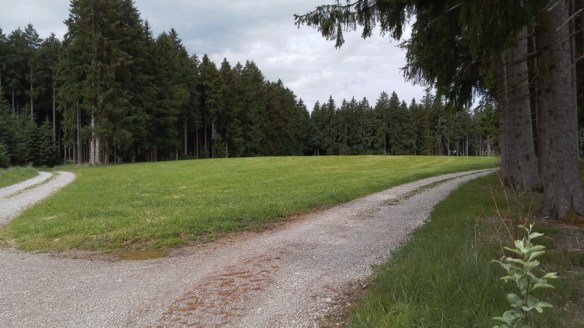
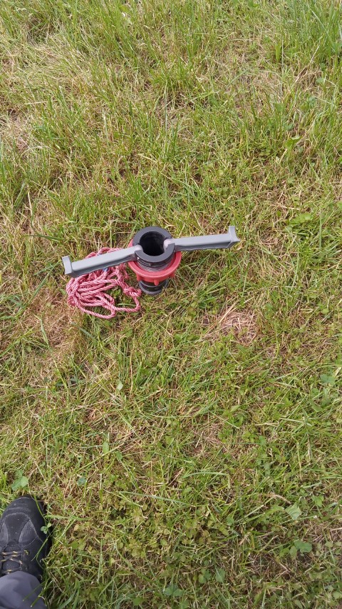
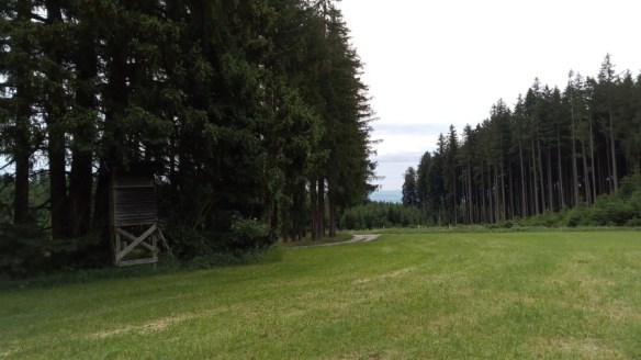
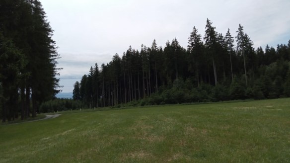
Photos:
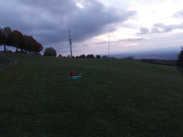
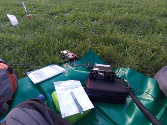
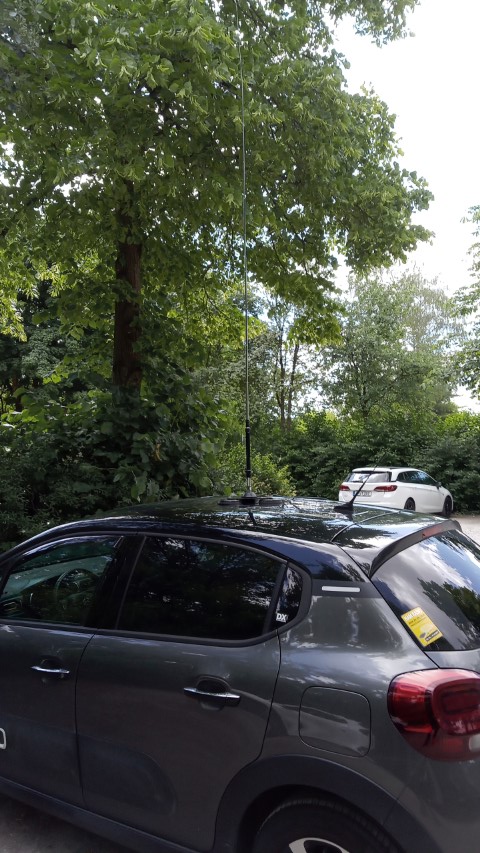
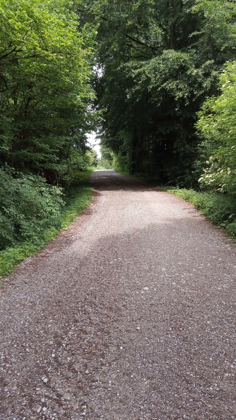
SOTA DL/AM-001 POTA DE-0594 / DE-0595 / DE-0797
Equipment taken:
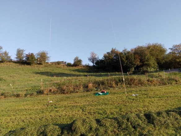
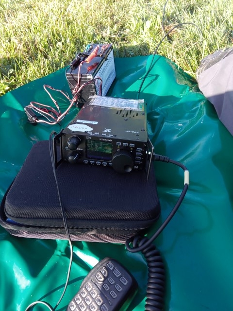
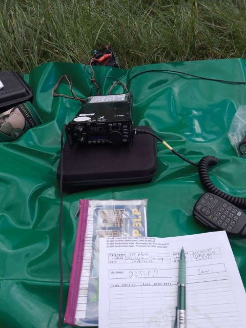
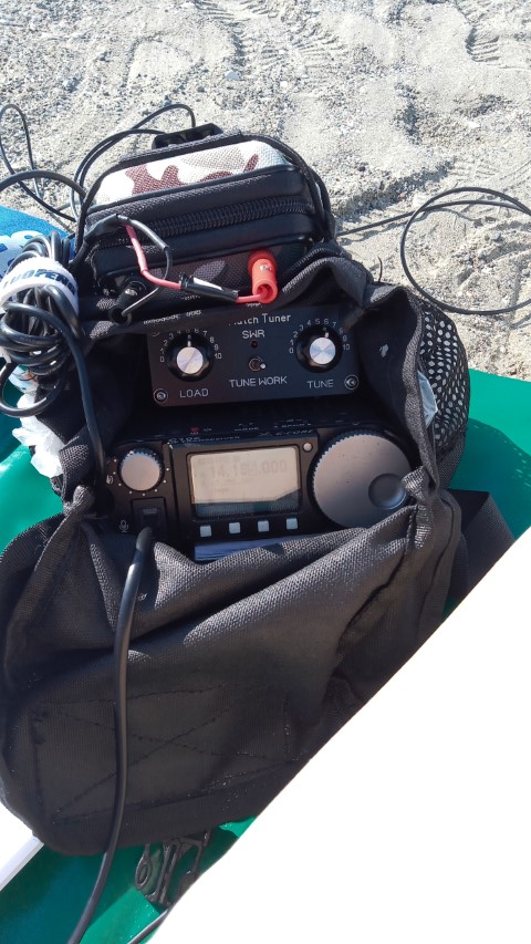
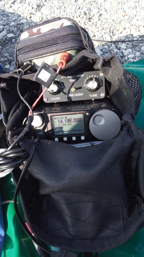
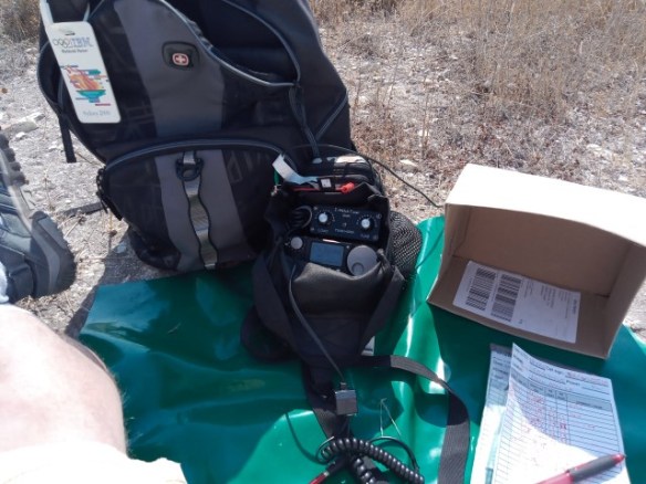
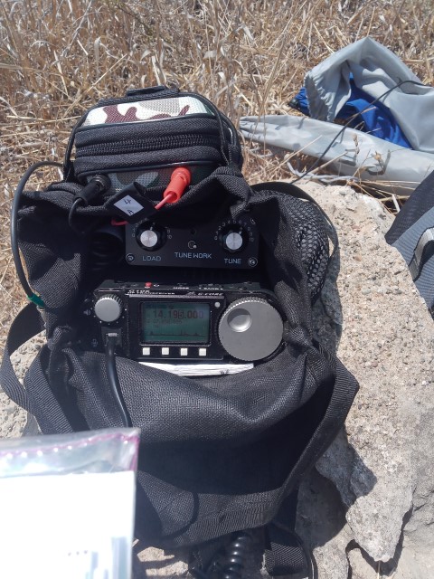
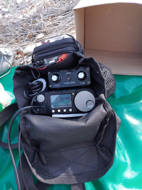
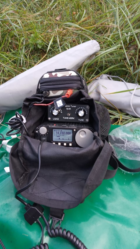
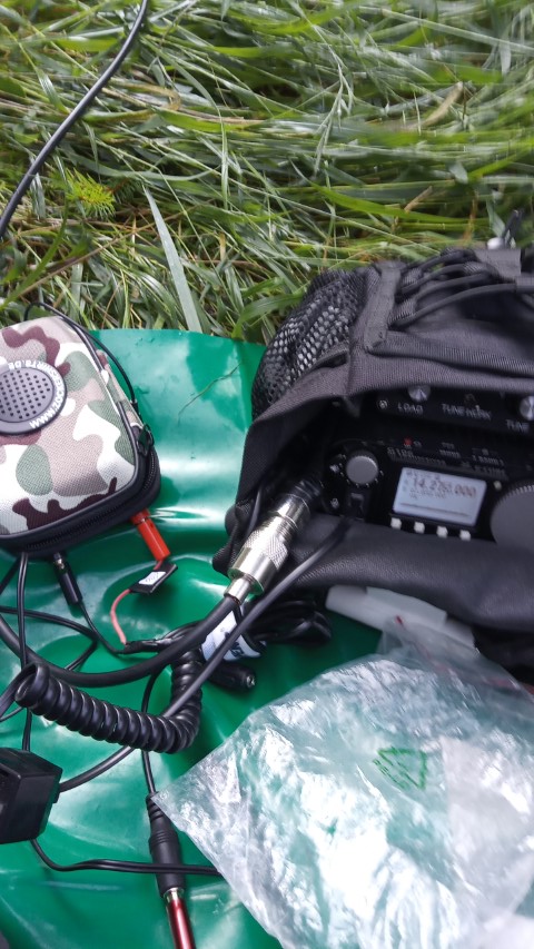
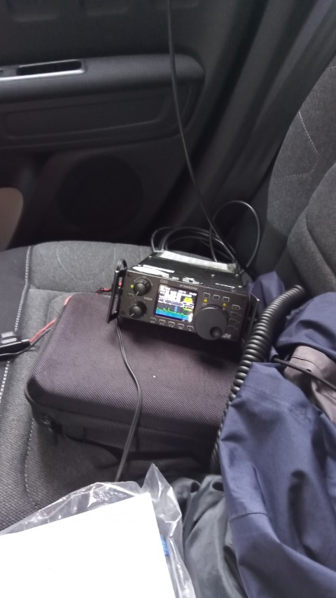
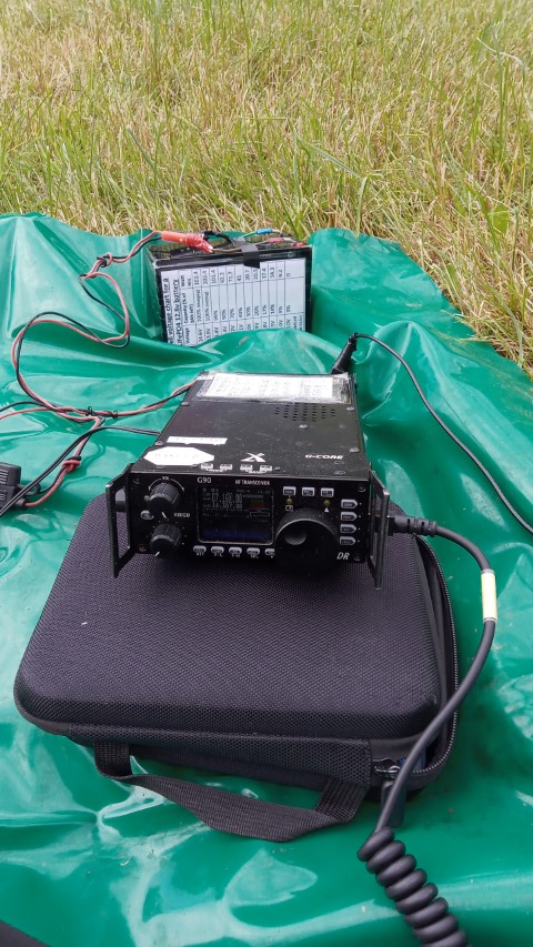
- Xiegu G-90 radio.
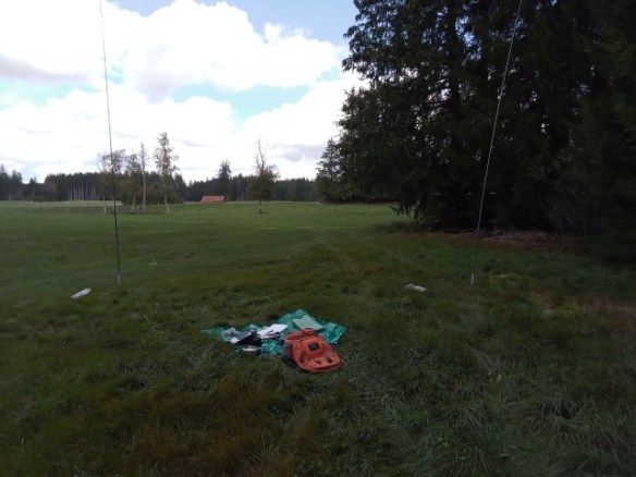
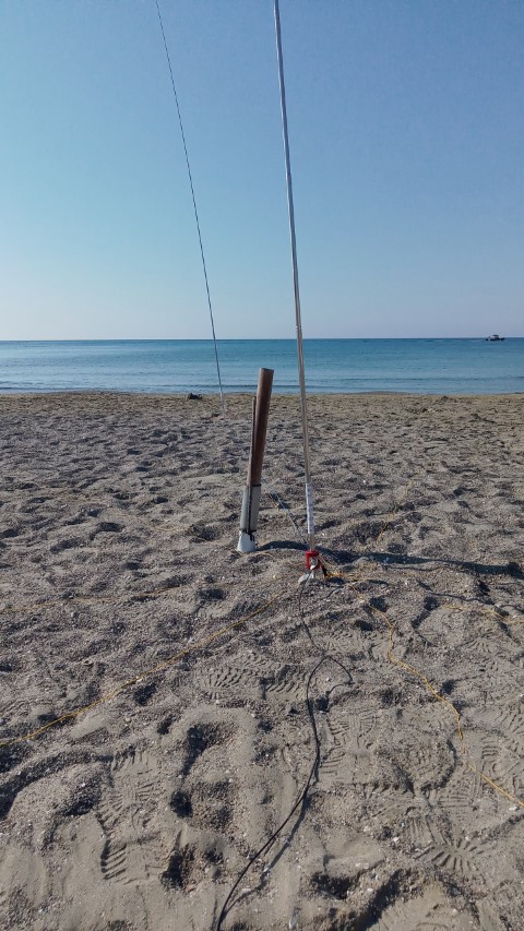
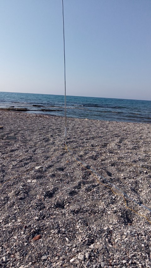
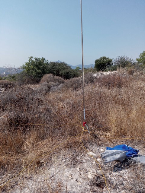
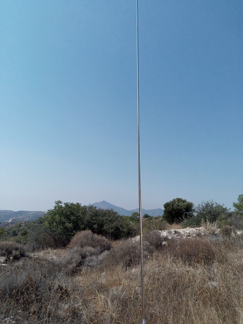
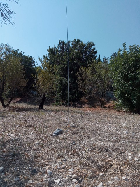
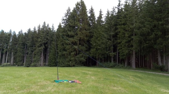
- “Red Slug” ground mounted quarter-wave vertical.
- 5.6m reflector element to make up a two element parasitic array.
- 8Ah LifePO4 battery.
- Lightweight headphones.
- Smartphone for spotting.
Contacts Map
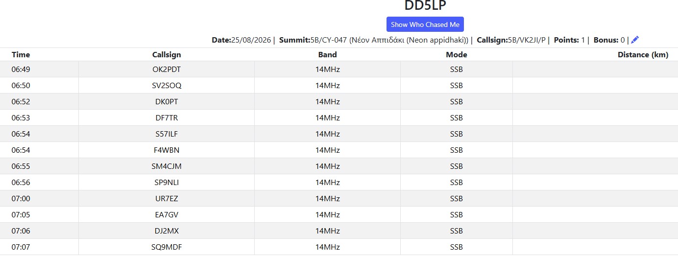
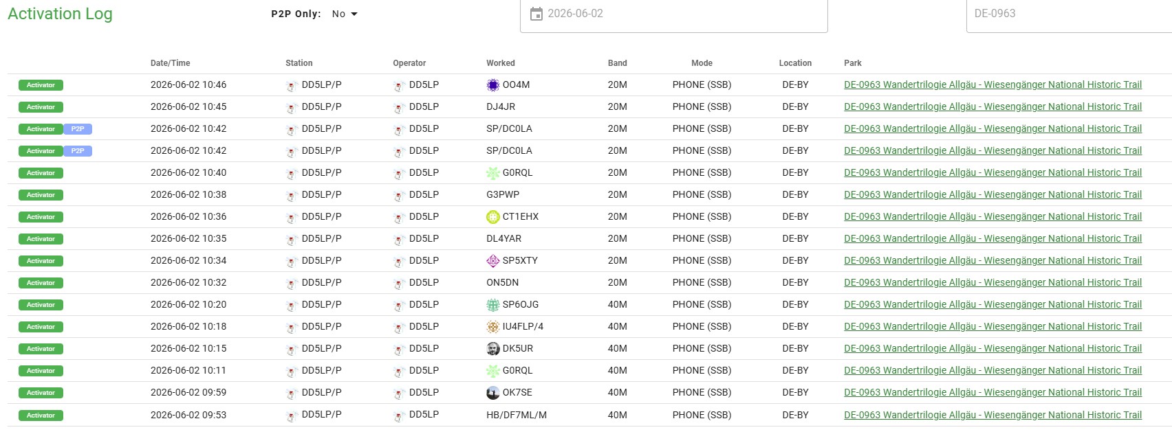
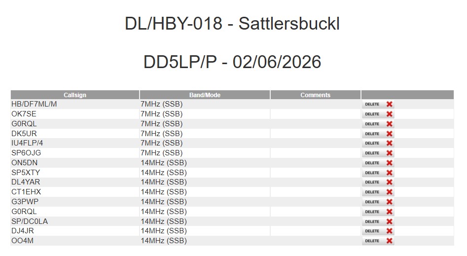
LOG:
Conclusions:
All in all the exercise was successful, as far as it could be with the radio conditions and good preparation for the EU-NA S2S event on November 7th, when it will no doubt be a lot colder, but at least that will be an afternoon activation.
73 ’til the next activation!








You must be logged in to post a comment.